 Interstate 35 motorists north and south of Austin are now able to decide, with just one glance, if taking the toll road is the better choice.
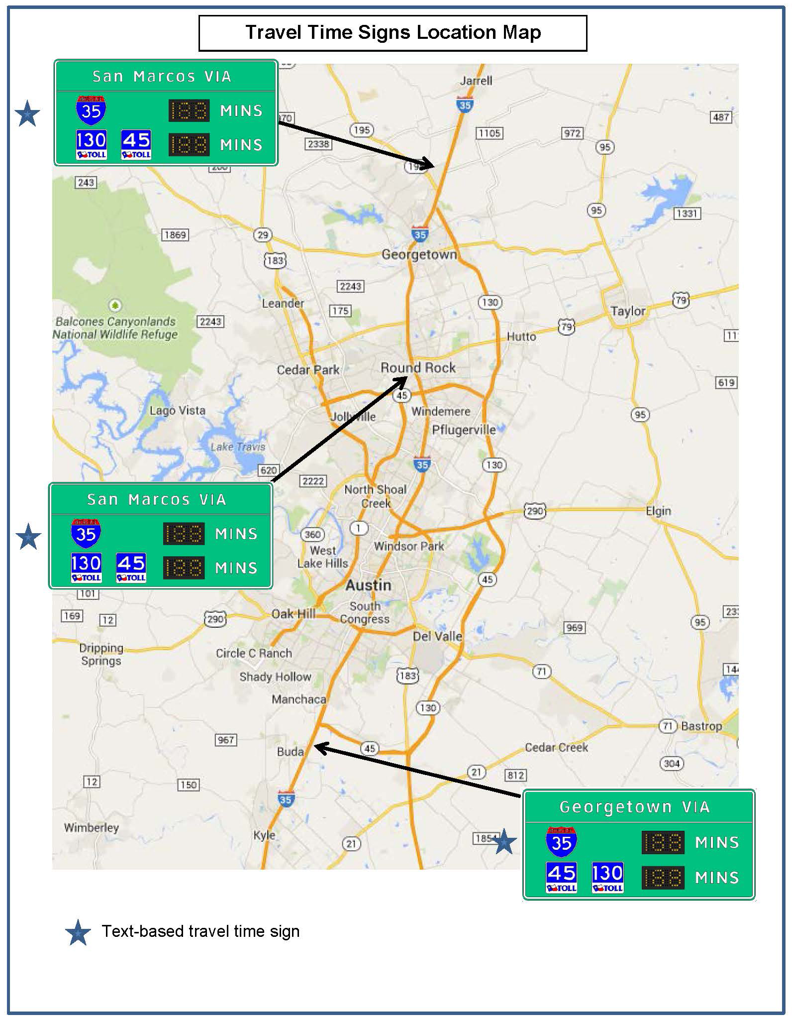
Developed and installed by the Texas A&M Transportation Institute (TTI) for the Texas Department of Transportation (TxDOT), dynamic travel-time signs comparing estimated I-35 and State Highway 130 toll road travel times have been installed at three key locations along the corridor — northbound I-35 in Buda, southbound I-35 in Georgetown and southbound I-35 in Round Rock.
“Drivers now have the ability to make a route decision based on real-time travel data,” says TxDOT Austin District Engineer Greg Malatek. “With I-35 in Central Texas being one of the most congested highways in Texas, we have to keep looking for ways to manage traffic throughout this corridor. The incorporation of these travel time signs where we’re using technology to move people and goods more efficiently is a step in the right direction.”
The travel-time comparison signs are new to Texas and made possible by a $250,000 Federal Highway Administration grant.
“A few metropolitan areas across the country are already using these types of signs. Drivers desire current travel time information so they can make good route choice decisions that benefit them,” says Jerry Ullman, manager of TTI’s Work Zone and Dynamic Signs Program who headed up TTI’s work on the project. “These signs are a cost-effective way to accomplish that.”
Travel times on both I-35 and SH 130 are monitored anonymously by Bluetooth® readers and other sensors. The data is sent to TxDOT’s Lonestar Traffic Management System and then displayed on the three dedicated time-comparison signs.
Ullman predicts that other locations in Texas will implement route comparison signs in the near future.